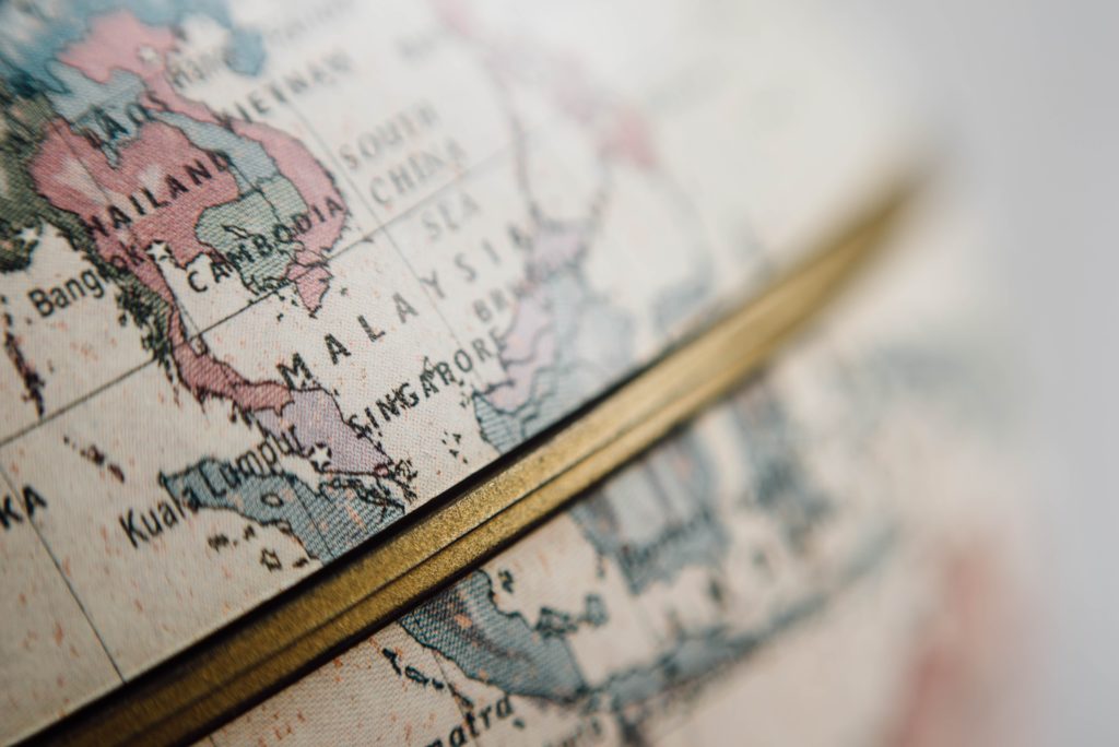
Look at a globe or map and you will see a bunch of imaginary lines running all over the place. What are these lines and why are they important? We wouldn’t be an educational travel company if we didn’t look into these questions, so we’ve compiled a list of the 20 most important imaginary lines on Earth.
Equator:
This is the king of all imaginary lines. Circling the earth at its center, the equator is the world’s longest line at nearly 25,000 miles. It divides the northern and southern hemispheres and exhibits distinct physical characteristics due to its unique gravitational pull.
International Date Line:
As one of the most significant imaginary lines on Earth, the International Date Line denotes the start of a new day. It’s also unique in that it’s not exactly straight. Although it’s roughly 180 degrees longitude, it zigs and zags to accommodate various territories and islands.
Prime Meridian:
This line marks zero degrees longitude, and is actually quite arbitrary. Various prime meridians have been used throughout history, but the Greenwich Meridian (in Greenwich, England) has been recognized internationally as the official Prime Meridian since 1884. Most importantly, this line determines Universal Time, or Greenwich Mean Time.
Missouri Compromise Line:
The line—at latitude 36 degrees, 30 minutes north—is significant in U.S. history as the division between free states and slave states as prescribed by the Missouri Compromise of 1820.
Treaty of Tordesillas:
The 1494 treaty created a line of demarcation (halfway between the Cape Verde islands and the lands discovered by Christopher Columbus), dividing the colonial lands outside of Europe between Spain and Portugal. Everything to the west was considered Spain’s and everything to the east was Portugal’s. That’s why most of Latin America speaks Spanish and Brazil (for example) speaks Portuguese.
Tropic of Cancer:
One of the five major circles of latitude, the Tropic of Cancer marks the northernmost latitude at which the sun can appear directly overhead at noon. That occurs at the June solstice, the official start of summer, which gives the Tropic of Cancer the edge over the…
Tropic of Capricorn:
Like its counterpart, this major circle of latitude marks the southernmost latitude at which the sun can appear directly overhead at noon. That occurs at the December solstice, the official start of winter.
38th parallel north:
This imaginary line is most prominent as the border between South Korea and North Korea. It was established first as the Korean divider in 1945, and it was where the cease-fire was called to end the Korean War. This circle of latitude also passes through the United States—through San Francisco Bay, just south of St. Louis and between Washington, D.C., and Richmond, Virginia.
Mason-Dixon Line:
Surveyed in the 18th century, this demarcation line formally marks parts of the borders of four U.S. states—Pennsylvania, Maryland, Delaware and West Virginia (then Virginia). Symbolically, this line separates the North and the South.
Paris Meridian:
This longitudinal line, which runs through the Paris Observatory, was a long-standing rival to the Greenwich Meridian as the world’s prime meridian. First established in the 17th century, the French relied on the Paris Meridian for time keeping until 1911 and for navigation until 1914.
Arctic Circle:
This major circle of latitude denotes the start of the Arctic, but it does pass through eight countries: Norway, Sweden, Finland, Russia, the United States (Alaska), Canada, Greenland and Iceland. There are thousands of people who live north of the Arctic Circle, giving it the edge over the…
Antarctic Circle:
Like its counterpart, this final major circle of latitude denotes the area of Antarctic and contains only the continent of Antarctica, where there are no permanent human residents.
45th parallel north:
This circle of latitude marks the supposed halfway point between the equator and the North Pole. The actual halfway point is ten miles north. The line also separates the United States and Canada between the St. Lawrence and Connecticut rivers (New York and Vermont), and it marks most of the border between Montana and Wyoming.
Seventeenth parallel:
A few miles south of the actual 17th parallel north, this imaginary line was the provisional military demarcation line established in Vietnam in 1954.
Washington meridian:
There have been four meridians specified as the meridian passing through Washington, D.C.: through the U.S. Capitol, the White House, the old Naval Observatory, and the new Naval Observatory.
49th parallel north:
This circle of latitude most notably forms the boundary between the United States and Canada from Minnesota to Washington state.
100th meridian west:
The historic rough divider between the Eastern and Western United States, this longitudinal line forms the eastern border of the Texas panhandle and Oklahoma and also passes through North Dakota, South Dakota, Nebraska, and Kansas.
Warsaw meridian:
This longitudinal line running through Warsaw, Poland, was used for keeping Warsaw Mean Time until 1915, when Warsaw (and Poland) switched to Central European Time.
45th parallel south:
Less exciting than its counterpart, this line mostly passes through oceans. Nevertheless, it is the supposed halfway point between the equator and the South Pole, although the actual line is a little farther south.
Florence Meridian:
Once proposed as the prime meridian by Arno Peters, this line goes directly through the center of Florence, Italy. It also passes through several countries including Norway, Germany, Libya, and Nigeria.
Now that you know the imaginary lines on Earth, create your own path on an EF tour.
Editor’s note (2020): This piece has been updated for clarity, accuracy, and relevance.
Related articles

